Polarstar Aerial Call (856) 237 7980

Clear roof documentation, without putting another person on the roof.

Polarstar Aerial provides organized aerial photo documentation for roofers, contractors, property professionals, and adjusters throughout South Jersey.

Or call (856) 237 7980
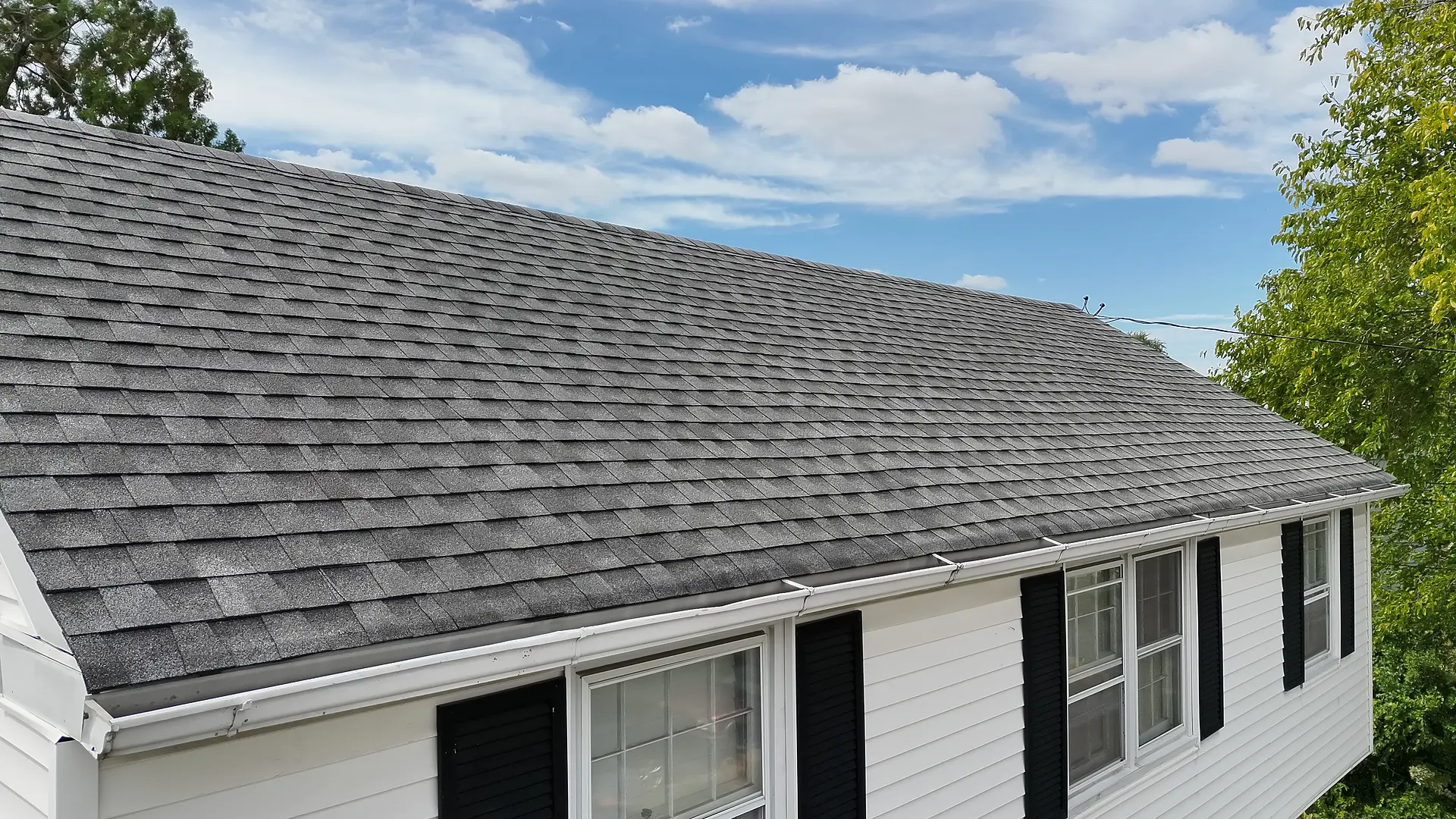
Drone view of an asphalt shingle residential roof and front elevation.

A complete visual record of the requested areas

Overview, individual slopes, roof components, drainage edges, and exterior elevations, organized for fast review.
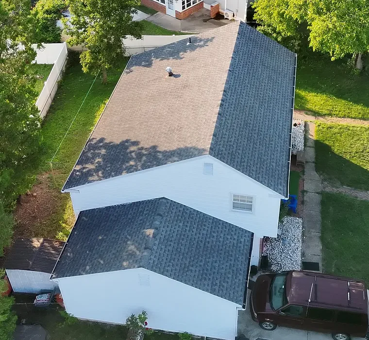
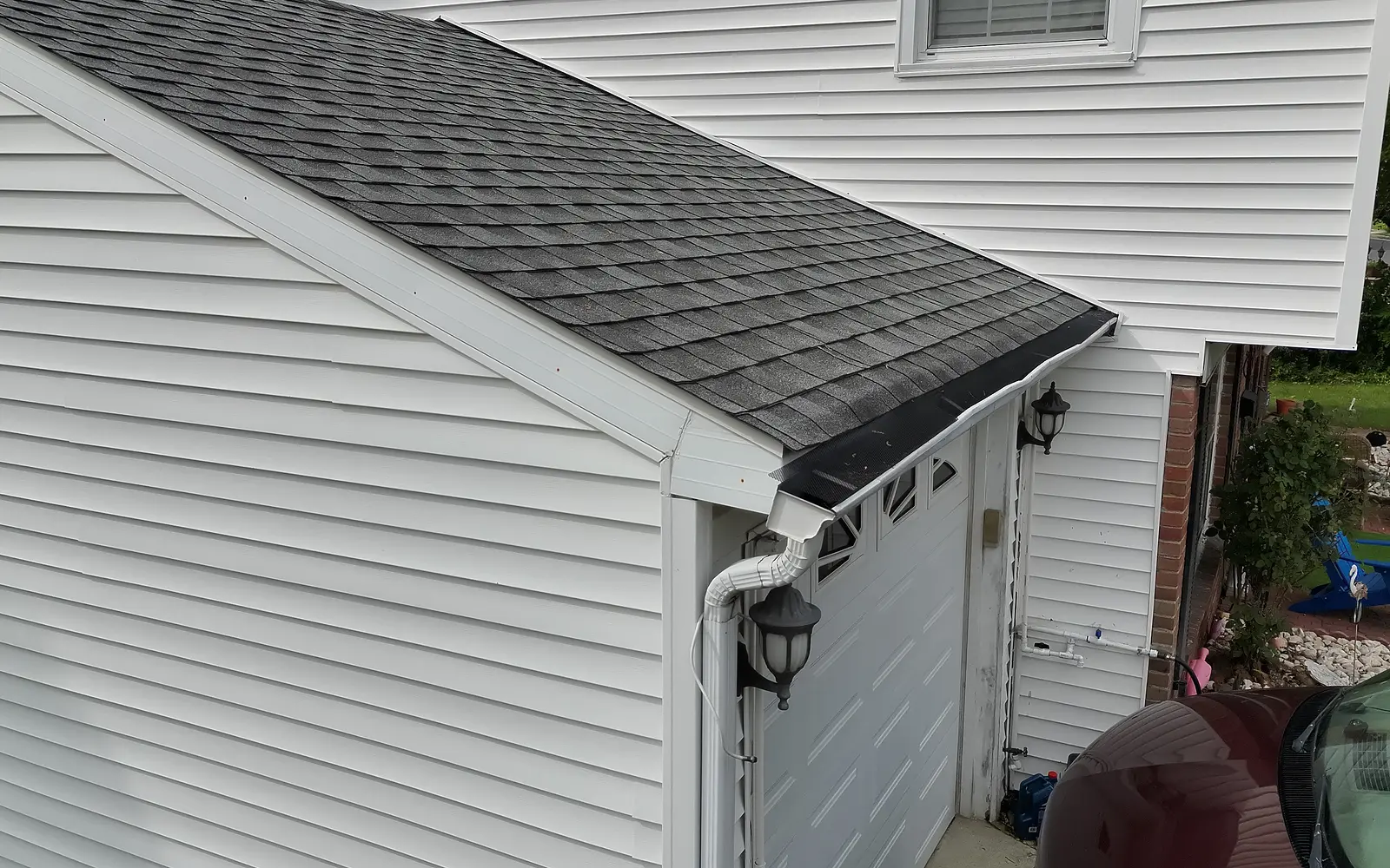
Residential Roof Documentation, Atlantic County, New Jersey. Demonstration flight showing property overview, roof slopes, drainage edges, and roof components. Labeled examples below.

More than pictures: organized documentation

Every assignment is organized and labeled around your scope, so the requested areas are easy to review, share, and keep on file.

Annotated roof overview identifying the ridge, roof penetrations, and an adjoining roof section.
Photo 01: roof overview, labeled
Annotated roof slope identifying the ridge, vents, slope, and gutter edge.
Photo 02: roof slope, labeled
Annotated close view identifying roof penetrations and flashing.
Photo 03: roof components, labeled

Sample images are for visual documentation only and do not constitute an engineering opinion, insurance determination, repair estimate, or diagnosis of damage. Tap any image to enlarge.

What you receive

Services

Roof documentation
Every safely accessible slope, component, and gutter, organized for estimating and claims.
Storm response
Fast capture after wind, rain, and fallen trees, so your team can prioritize which properties need a closer look.
Exterior and building envelope
Siding, trim, windows, soffits, and all four elevations, including areas a ladder can't safely reach.
Commercial and flat roofs
Large and low slope roofs captured in a systematic pattern. Quoted per property.
Thermal imaging
Infrared images on request, showing surface temperature differences as a starting point for your own investigation.
Construction and property records
Before and after, progress, and baseline condition photos for contractors, managers, and owners.

How it works

  1. Send the property. Address, what you need, and your deadline.
  2. We handle the preflight. FAA airspace authorization, weather, and homeowner permission.
  3. We fly, usually within one to two days. Nobody goes on the roof.
  4. We organize. Photos sorted, numbered, and labeled.
  5. You receive the organized set, usually the next business day.

Who we work with

Roofing contractorsPublic adjustersInsurance and adjusting firmsRestoration companiesGeneral contractorsProperty managersCommercial property ownersReal estate professionals

Serving Atlantic City, Ventnor, Margate, Brigantine, Egg Harbor Township, Galloway, Absecon, Pleasantville, Northfield, Linwood, Somers Point, Ocean City, and Cape May County.

Credentials

FAA Part 107 certified commercial pilot
$1 million aviation liability coverage. Certificate available on request.
Licensed property and casualty adjuster
Enterprise DJI Matrice 4T
Locally owned in Atlantic City

What we don't do

We provide visual documentation only. We don't diagnose damage, determine cause, estimate repairs, certify roofs, or give insurance or coverage opinions. Those calls belong to your licensed professionals.

Questions

Is this an inspection?

No. We capture and organize the evidence. Your roofer, adjuster, or engineer makes the professional call.

Does anyone go on the roof?

No. Everything is captured from the air and from the ground.

How fast can you get to a property?

Usually within one to two days of receiving the address, weather and airspace permitting. Photos usually arrive the next business day after the flight.

Are you insured?

Yes. We carry $1 million in aviation liability coverage and can send a certificate of insurance, including additional insured when requested.

What if the weather is bad?

We don't fly in rain, high wind, or low visibility. We reschedule to the next safe window and tell you right away.

Can you fly near Atlantic City airport or the casinos?

Much of Atlantic City is controlled airspace. We get FAA authorization before every flight and tell you before scheduling if a location isn't allowed.

Do you do thermal imaging?

Yes, on request. Thermal images show surface temperature differences. They are a lead for your own investigation, not a diagnosis of moisture or leaks.

Do you work with homeowners?

Our focus is contractors, adjusters, and property professionals.

Contact

Service area
Atlantic and Cape May Counties